


Building Multiscalar Scenarios
23/10/2019, h. 9:30 – 13:00
Politecnico di Milano, via Pascoli 53, Auditorium
International seminar on Advanced Techniques for image warping of maps through time parameters
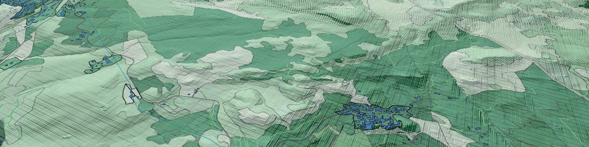
The seminar aims at exploring a relevant issue: how to produce parametric maps that include time as a factor of
modification of physical distances and accessibility. These kind of maps are therefore suitable to reveal how territories can respect the topologic relationships among nodes, and how the urban and rural areas attached to them are dragged by the simultaneous presence of slow and fast networks. These maps help in analysing and governing urban and regional transformations. The contributions will aim at exploring new modes of mapping that can represent the relation between territories, connections and time. Considering time as a mapping parameter, requires image warping techniques applied to raster and vector maps, integrating GIS software with parametric tools.
This seminar is based on both a methodological and a practical approach, where possible solutions and practical applications can be discussed. This seminar has been developed within the “Territorial Fragility” project promoted by the Department of Architecture and Urban Studies – Research line “MapFrag: Mapping fragile landscapes, tools and tecniques for the analysis and representation of territorial fragilities”.
Relatori: Alessandro Balducci, Andrea Rolando, Domenico D’Uva, Klaus Spiekermann, Francisco Escobar, Anita Graser, Reinhard Konig
Responsabile: Domenico D’Uva
340 906.43.64
domenico.duva@polimi.it
Locandina